Travel Guide of Mt Cook in New Zealand by Influencers and Travelers
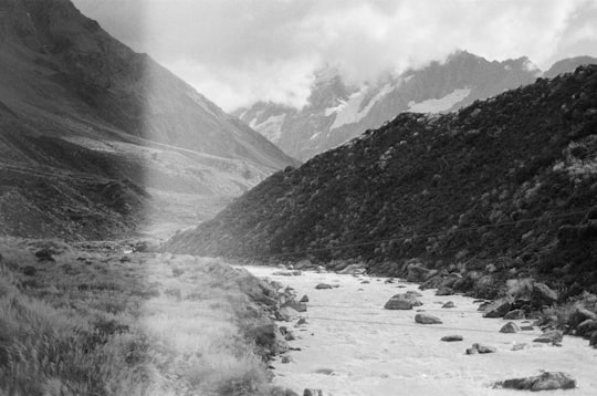
The Waitaha River, also known as the Mt Cook of rivers, is a river of the West Coast region of New Zealand's South Island. One of the best whitewater rivers in New Zealand, the hydroelectricity project has been rejected by the Nz Govt
Pictures and Stories of Mt Cook from Influencers
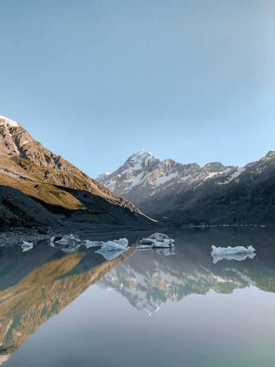
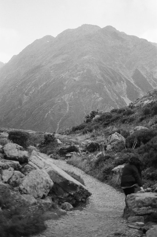
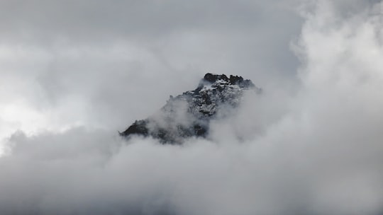
5 pictures of Mt Cook from Kieran Taylor, Molly Spink, Pakata Goh and other travelers
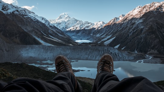
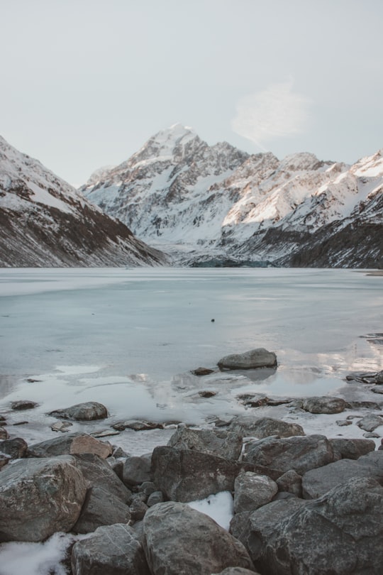
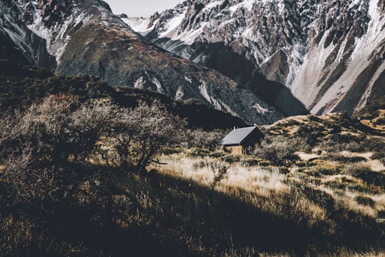
- Hooker Valley Track, Mt. Cook / Aoraki ...click to read more
- Experienced by @Molly Spink | ©Unsplash
Plan your trip in Mt Cook with AI 🤖 🗺
Roadtrips.ai is a AI powered trip planner that you can use to generate a customized trip itinerary for any destination in New Zealand in just one clickJust write your activities preferences, budget and number of days travelling and our artificial intelligence will do the rest for you
👉 Use the AI Trip Planner
The Best Things to Do and Visit around Mt Cook
Disover the best Instagram Spots around Mt Cook here
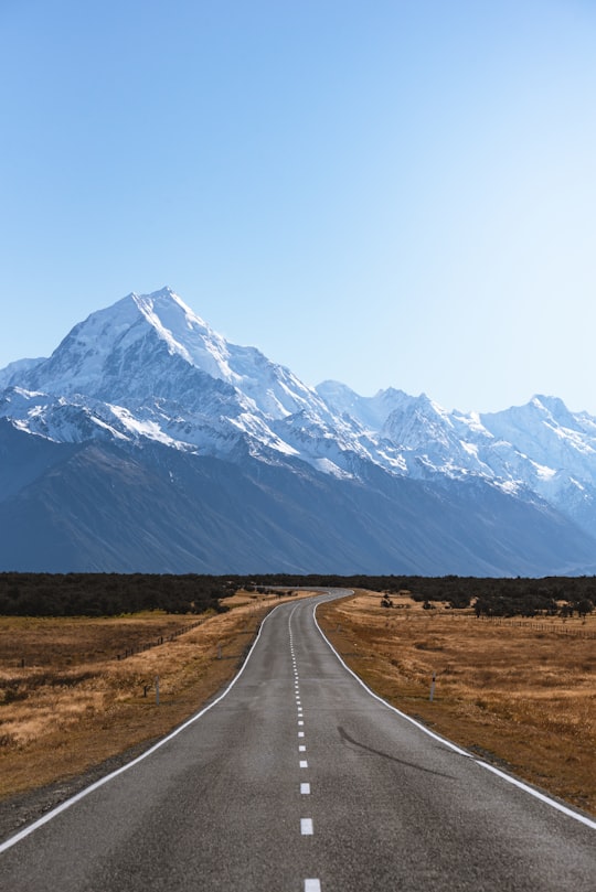
1 - Mount Cook
Aoraki / Mount Cook is the highest mountain in New Zealand. Its height, as of 2014, is listed as 3,724 metres. It lies in the Southern Alps, the mountain range which runs the length of the South Island.
Learn more Book this experience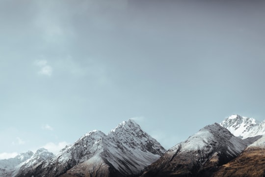
2 - Aoraki/Mount Cook National Park
10 km away
Aoraki/Mount Cook National Park is in the South Island of New Zealand, near the town of Twizel. Aoraki / Mount Cook, New Zealand's highest mountain, and Aoraki/Mount Cook Village lie within the park.
Learn more Book this experience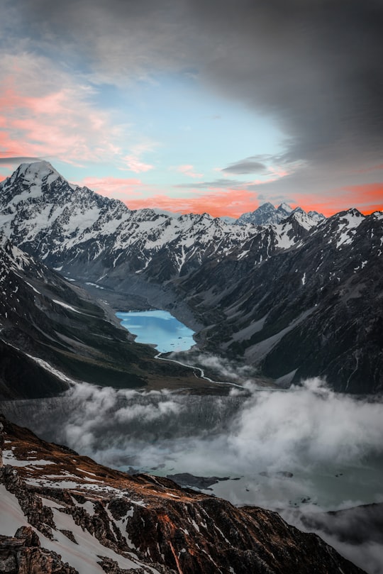
3 - Helicopter tours in Fox Glacier
18 km away
Fox Glacier is located in the Westland Tai Poutini National Park and takes its name from Sir William Fox, who visited the Glacier as Prime Minister of New Zealand in 1872. It is one of the few glaciers in the world which exists in such close proximit...
Learn more
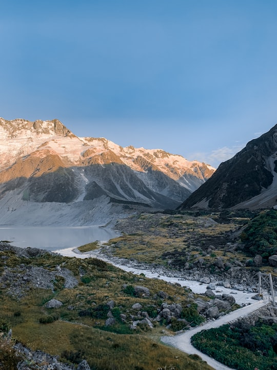
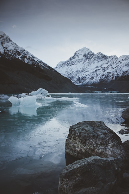
4 - Hooker Lake
10 km away
Hooker Lake is a proglacial lake that started to form in the late 1970s by the recent retreat of the Hooker Glacier. It is in the Hooker Valley, in the Aoraki / Mount Cook National Park in New Zealand's South Island, just south of Aoraki / Mount Cook.
Learn more Book this experience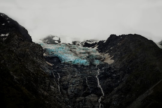
5 - Westland Tai Poutini National Park
11 km away
Westland Tai Poutini National Park is located on the western coast of New Zealand's South Island. Established in 1960, the centenary of the European settlement of Westland District, it covers 1,320 km², and extends from the highest peaks of the Southern Alps to a wild and remote coastline.
Learn more Book this experience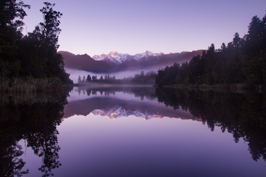
6 - Fox Glacier
13 km away
Fox Glacier / Te Moeka o Tuawe is a 13-kilometre-long temperate maritime glacier located in Westland Tai Poutini National Park on the West Coast of New Zealand's South Island.
Learn more Book this experience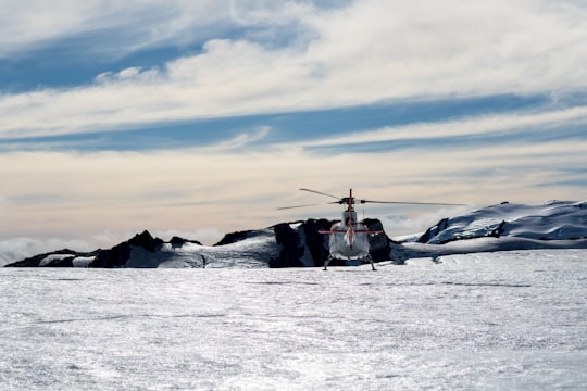
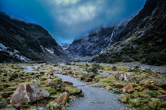
7 - Hooker Valley track
14 km away
Learn more
8 - Southern Alps
18 km away
The Southern Alps is a mountain range extending along much of the length of New Zealand's South Island, reaching its greatest elevations near the range's western side.
Learn more Book this experience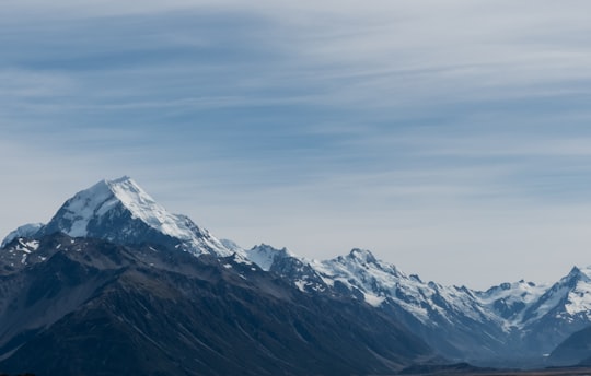
9 - Lake Matheson
22 km away
Lake Matheson is a small glacial lake in South Westland, New Zealand, near the township of Fox Glacier. It was a traditional mahinga kai for local Māori.
Learn more Book this experience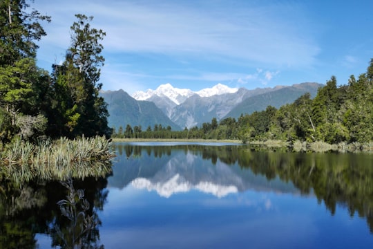
10 - Franz Josef Glacier
23 km away
Franz Josef Glacier / Kā Roimata o Hine Hukatere is a 12 km long temperate maritime glacier in Westland Tai Poutini National Park on the West Coast of New Zealand's South Island.
Learn more Book this experience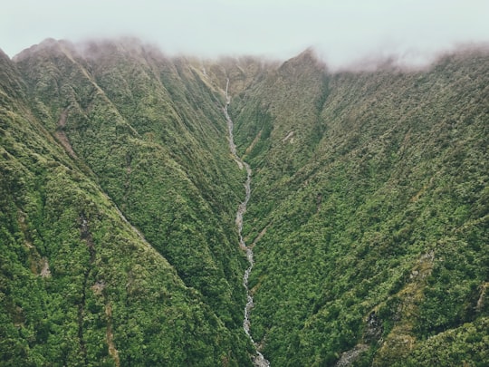
11 - Karangarua
26 km away
The Karangarua River is located in the west of New Zealand's South Island. It flows northwest from the Southern Alps, entering the Tasman Sea 80 kilometres northeast of Haast. The main tributary of the Karangarua is the Copland River.
Learn more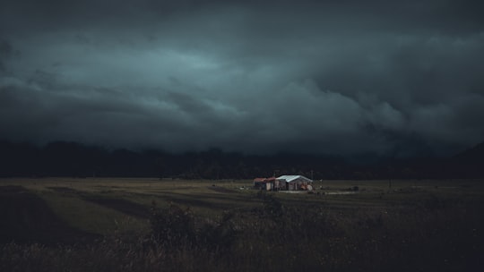
12 - Okarito
41 km away
Ōkārito Lagoon is a coastal lagoon on the West Coast of New Zealand's South Island. It is located 130 kilometres south of Hokitika, and covers an area of about 3,240 hectares, making it the largest unmodified coastal wetland in New Zealand.
Learn more Book this experience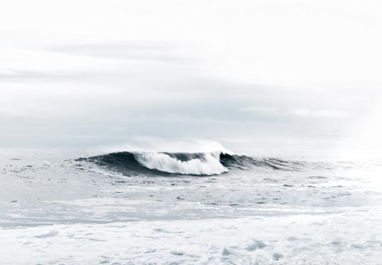
13 - Lake Alexandrina
43 km away
Lake Alexandrina is a lake located in the Mackenzie Basin of New Zealand's South Island. It lies immediately to the west of the much larger Lake Tekapo and further to the east of Lake Pukaki, located to the north of Lake Tekapo township.
Learn more Book this experience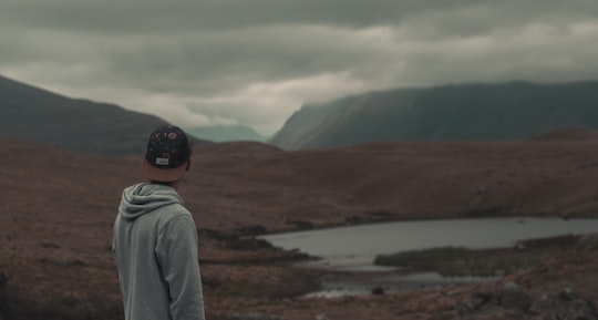
Book Tours and Activities in Mt Cook
Discover the best tours and activities around Mt Cook, New Zealand and book your travel experience today with our booking partners
Where to Stay near Mt Cook
Discover the best hotels around Mt Cook, New Zealand and book your stay today with our booking partner booking.com
More Travel spots to explore around Mt Cook
Click on the pictures to learn more about the places and to get directions
Discover more travel spots to explore around Mt Cook
⛰️ Highland spots ❄️ Glacial landform spots ⛰️ Hill spots ⛰️ Mountain range spotsTravel map of Mt Cook
Explore popular touristic places around Mt Cook